New feature! These photos are the result of a collaboration between Comox Valley Nature and the Drone Group of the Comox Valley Photographic Society. They were prepared specifically for the 2023 update of CVN’s Nature Viewing Guide.
How to view a spherical panorama
When you click the link below for your site of interest to view its spherical panorama, the static photo opens. To start the panorama viewer, use one of the following methods, depending on your system:
- Click the viewer icon in the centre of the image.
- Click the viewer icon in the upper right corner, or click anywhere on the image.
The photo file is large and usually takes a few seconds to load.
To pan your view, drag the photo in any direction.
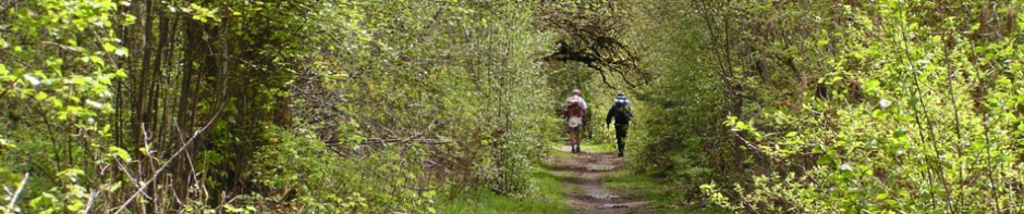
The spherical panoramas
- Bear Creek Nature Park
- Boyle Point Provincial Park
- Brooklyn Creek area: Brooklyn Creek and MacDonald Wood Park, Brooklyn Creek and Mack Laing Park
- Central Park, Denman Island
- Comox Lake Bluffs
- Courtenay River Estuary (including Courtenay Riverway and Airpark)
- Cumberland Marsh and Forest
- Cumberland Wetlands area (including sewage lagoons)
- Deep Bay (including Mapleguard Point)
- East Courtenay area (Lerwick Nature Park, Hawk Greenway, Hurford Hill Nature Park)
- Fanny Bay Conservation Area and Ships Point Peninsula
- Fillongley Provincial Park
- Goose Spit (including Willemar Bluffs)
- Helliwell Provincial Park
- Kin Beach
- Kye Bay
- Lazo Marsh area (including Northeast Comox Conservation Area, Lazo Wildlife Park)
- Lewis Park area (including Simms Park and Condensory Greenway)
- Little River Nature Park
- Little River to Powell River Ferry area
- Maple Lake
- Millard Creek area (Millard Creek Conservation Area, Millard Nature Park)
- Miracle Beach
- Morrison Greenway
- Mt. Geoffrey
- Nymph Falls Nature Park
- One Spot Trail (including Dove Creek)
- Oyster Bay
- Oyster River area (including Oyster River Nature Park, Woodhus Slough)
- Paradise Meadows (Strathcona Provincial Park)
- Point Holmes (including Cape Lazo)
- Puntledge Greenway (Puntledge Park, Bear James Park, Masters Greenway)
- Puntledge River Recreation Area (BC Hydro trails)
- Rosewall Creek
- Royston Greenway (Royston Seaside Trail)
- Sandy (Tree) Island Provincial Park
- Seal Bay Park
- Trent River Estuary (including Gartley Point)
- Trent River south (Trent River Trail, Mallard Pond)
- Tsolum River floodplain trails
- Tsolum Spirit Park (including Dove Creek)
- Union Bay (including Hart/Washer Creek)
- Wildwood Marsh and Forest
- Williams Beach (including Williams Beach Forest, Filberg Marsh)