Just two CVN members had an excellent adventure exploring up the Puntledge River , from the Morrison Creek confluence to the Browns River confluence, on Sept. 23.

Puntledge Park Fisherman
We started where Morrison Creek enters the Puntledge River – at Puntledge Park on First St in Courtenay, using the information on our online Nature Viewing Guide as reference.

Pink Salmon
The aroma of dying salmon filled the air, and gulls & fishermen were busy in the river.
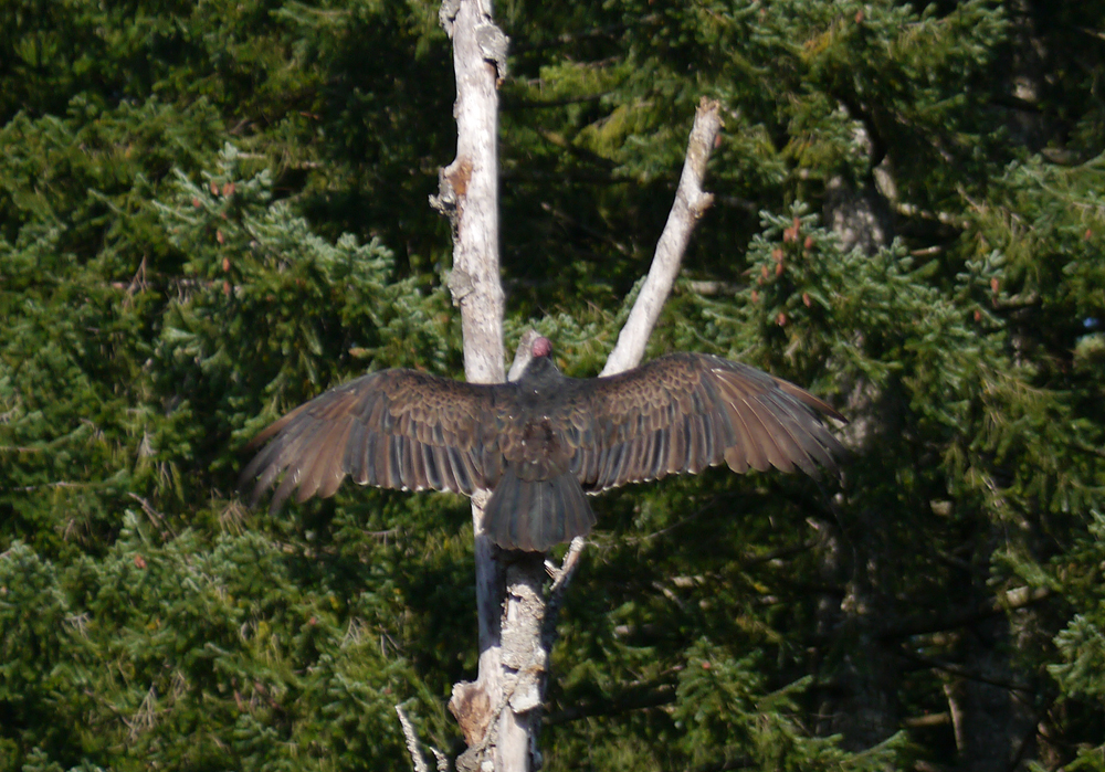
Turkey Vulture Drying Wings
We continued on to the Rotary Riverside Trail where a Turkey Vulture was drying its wings after feasting on the abundant salmon. Connecting through Masters Greenway, we noted a new diversion to the trail near Mellifera Place, which will be updated on the nature viewing guide map for this site.

River Flowing Uphill?
Further along upstream past the lower hatchery & Powerhouse at a sharp bend in the Puntledge River an interesting optical illusion makes the river appear to be flowing uphill. The Nature Student blog has additional photos.

Tree on the Edge
Fishermen’s trails lead further along upstream. We scrambled down a steep switchback to reach a riverside trail.
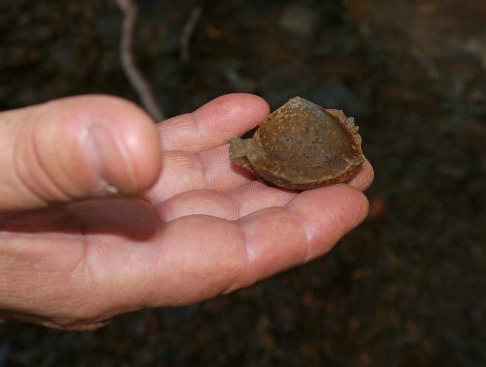
Clam Fossil
The eroding shale banks reveal a few of the fossils for which the Puntledge River is famous.

Autumn River
At this spot the river is peaceful among the rich autumn colours.

River Channel
One choice of trails leads to a rocky crossing of a stream channel. We continued on sometimes muddy trails all the way to the confluence of the Browns River – about 4.6 km from where we started.
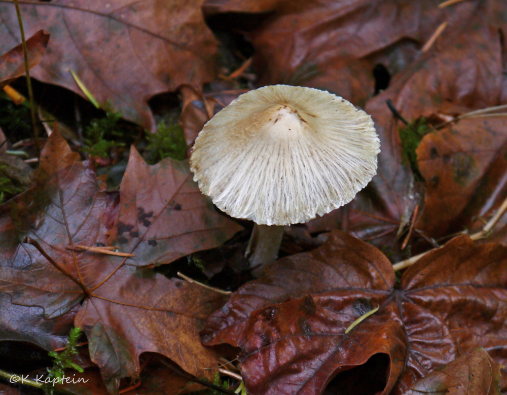
Mushroom Among Maples
Several mushroom species were noted along the way, and the numerous scenic rapids & viewpoints make this a very worthwhile hike.
The next Nature Hike in the series is Monday Sept. 30 to the Nymph Falls & upper hatchery trails : meet at Harmston Ave. across from the Old Church Theatre in downtown Courtenay at 9 a.m. or at the trailhead about 15 min. after. Here is a link to a Google map with the trailheads marked.
The hike will be about 7 km with some hills & muddy sections and could take up to 4 hrs. These hikes are for CVN members only.
Please print out the online information for reference during the outing. Dress for the weather, wear proper footwear, bring lunch or snacks, & plenty of water.